Dept: Agronomy
Projected Grad: 2022
Advisor: Bradley Miller
Presentation Title:
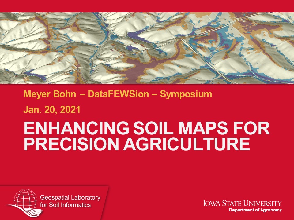
Enhanced Soil Maps to Support Agroecosystem Modeling
Summary:
Application of high-resolution land surface derivatives and machine learning to create soil maps for precision agroecosystem modeling.
The state of Iowa is under increasing pressure to improve agronomic efficiency while mitigating soil and water degradation. Predictive agroecosystem process models are used to target solutions for soil and water quality issues in Iowa by quantifying degradation and monitoring the efficacy of sustainable land management practices. The problem is that these models are sensitive to soil input data. Currently available soil maps are outdated and lack the spatial resolution required to meet the needs of precision agroecosystem modeling. The Soil Survey Geographic (SSURGO) database is considered the ‘best available’ source for spatial soil information, however, these maps were built from data over 30 years old. Moreover, technological advancements since the production of SSURGO maps greatly exceed those used to make them. We propose to make “next generation” soil maps via Digital Soil Mapping (DSM) techniques for soil properties pertinent to agroecosystem model predictions to support monitoring and mitigating water quality. Specifically, these soil properties are thickness of A horizon, 2) depth to permanent saturation (water table), 3) particle size fractions (sand, silt, and clay) and 4) Soil Organic Carbon (SOC) content. In support of our current DSM project in Story and Boone Counties, we propose a comparative “quad-county” study region in Osceola, Clay, Emmet, and Dickinson Counties. The quad-county region encompasses different soil and drainage characteristics on sub-regions of the Des Moines Lobe (DML) that are frequently overlooked.
The objectives of this study are to: 1) produce digital soil maps for the target soil properties have greater accuracy and spatial resolution than the currently available SSURGO maps, and 2) test the transferability of the spatial models used to produce the digital soil maps for their ability to predict soil variation on the greater DML region. Preliminary analysis on the two study regions with a limited pool of environmental covariates and existing soil datasets found that predictive maps created by DSM methods outperformed SSURGO predictions. For example, the RMSE for A horizon thickness was reduced from 25.7 cm for SSURGO to 13.7 cm for the digital soil map. Similar reductions in uncertainty from SSURGO to the digital soil map were achieved for depth to water table (30.3 reduced to 17.6 cm), sand content (12.3 reduced to 7.8%), and silt content (9.5 reduced to 7.1%). Project deliverables will include 3-meter resolution maps of predicted target soil properties and their estimated error for the two study regions. Maps for particle size fractions and SOC content will be generated at six depth intervals down to two meters. Comparative performance against equivalent SSURGO maps and model transferability to the greater DML region will be evaluated and reported.
Poster
3-Minute Video
